 The route from Aberchirder to Turriff is short at 8.4 miles, with only 515 feet of climbing. It is an easy route with no difficult hills and has been given a rating of 3.Aberchirder is a small village that was founded in 1764. It was a planned community and is built in a grid pattern, with houses having large, long gardens that were initially to allow residents to supplement their food supply. Heading east out of the village, you negotiate an easy ascent of 1.6 miles which takes you to the high point of 515 feet. There arent any real landmarks on the route, but you will enjoy rolling countryside in an agricultural setting on quiet roads. This area is one of Scotlands breadbaskets, and you will see this in every direction, with both arable and livestock farming in evidence. After the high point you will start a very shallow descent for 5.2 miles, before the final molehill in to Turriff. You pass a lovely natural spring called Chalyheate at mile 4.6, and then pass the pretty woods of Crow and Meadowheads, before joining the River Deveron at 6.7 miles. The final section in to Turriff is mainly through the town itself.
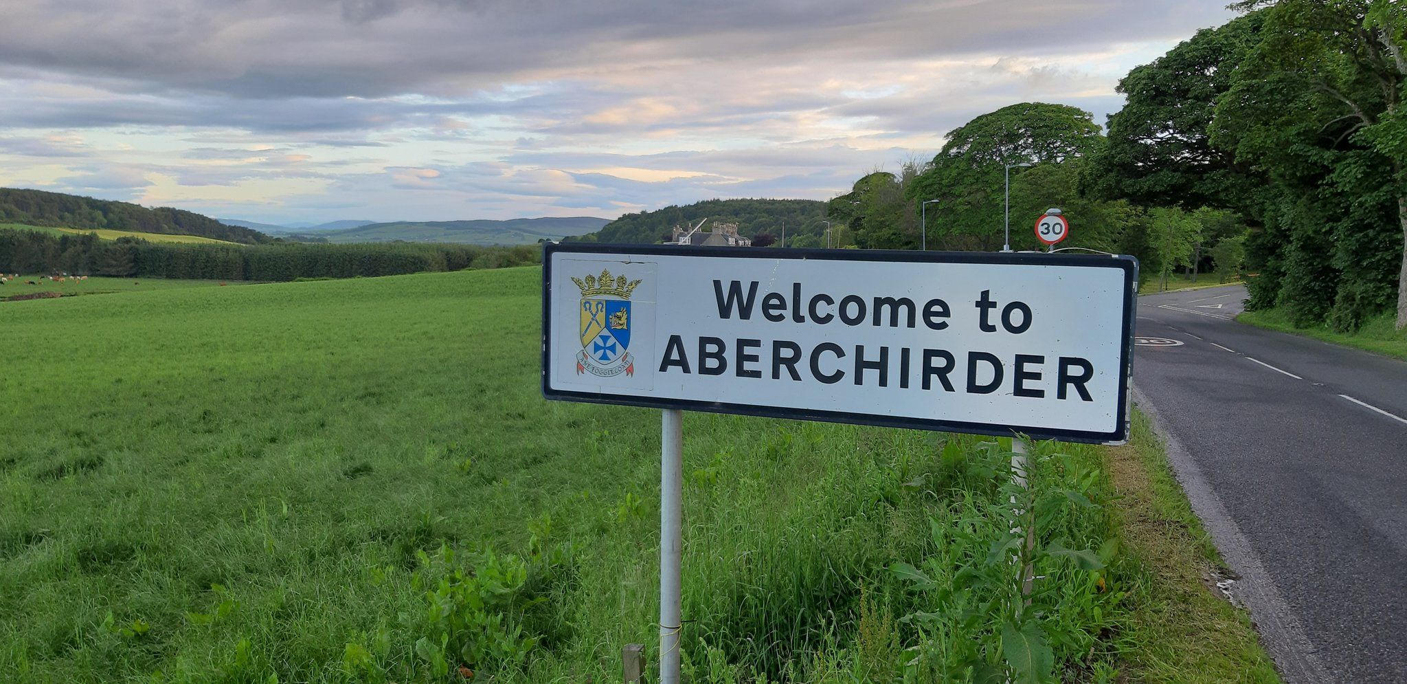 Turriff is an ancient place, with links to the Knights Templar. Known locally as Turra, the town hosts a two-day agricultural show each August which is the largest in Scotland and has been running for 156 years. Somewhat strangely, the most famous former-resident is bovine rather than human. In 1913, sheriff officers confiscated a farmers cow after he (the farmer, not the cow!) refused to pay the newly introduced National Insurance. However, officers couldnt sell the cow locally due to sympathy for the famer, and the subsequent auction was disrupted by protesters and the cow escaped. Now an emblem of the town, a statue of the Turra Coo was erected in the town centre in 2010. Whilst not a big place, there are plenty of cafes and eateries in Turriff so you can fuel yourself for the next let of your journey.
 By clicking on the play symbol on the graphic below you can see route map. The elevation profile of the ride can be seen via the Hills tab with files for use with a GPS device also available for download. If you take any photos of the route that youd like to share, please submit to neil@velodays.comOnward rides from Turriff can be found here
Route map for Aberchirder To Turriff by Neil Innes on plotaroute.com