 The route from Huntly to Aberchirder heads north and east and is entirely in Aberdeenshire. The route is 14.3 miles long with total ascending of 961 feet and a maximum elevation of 502 feet above sea-level. The route is continuously undulating and has some nasty lumps and bumps. However, due to the relatively short distance, this has been given a difficulty rating of 5. You might disagree!The town of Huntly has had settlements dating back to the Neolithic period. There is an excavated Iron-Age fort on the edge of town, as well as numerous Pictish remains and stones. The town is the historic home of the Gordon Highlanders Regiment, and the ruined castle is worth a visit. If you are looking for some sustenance before your efforts, the shortbread maker Deans has its HQ (and a caf) in the town.
 Heading north out of Huntly, you will cross the Deveron, one of the great rivers of north-east Scotland and your companion for most of the route. The road slowly rises for 2.7 miles to the high point in the lovely Bin Forest. You then have a 2.5 mile descent towards Milltown of Rothiemay. This is stone-circle country, and you can find excellent examples at miles 5.9 and 7.3, as well as in the village of Marnoch later in the route. You will have to negotiate a tricky ascent (with a pesky descent in the middle) coming out of Milltown of Rothiemay, but you will get your reward at mile 9.1 with a beautiful downhill section through farm and woodland with the Deveron on your right. These roads are quiet and used heavily by agricultural vehicles, so the surface could be gravely.The road goes steeply up, steeply down and then steeply up again for the final 2.9 miles. This is the most testing section of the route, but also marks the finishing point. Aberchirder is a small village that was founded in 1764. It was a planned community and is built in a grid pattern, with houses having large, long gardens that were initially to allow residents to supplement their food supply. It is a small place, so you might want to carry some provisions, just in case you cant purchase anything in town.
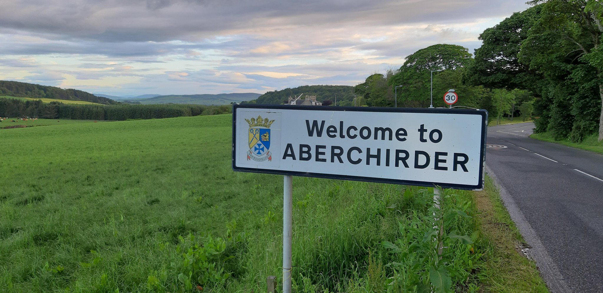 By clicking on the play symbol on the graphic below you can see route map. The elevation profile of the ride can be seen via the Hills tab with files for use with a GPS device also available for download. If you take any photos of the route that youd like to share, please submit to neil@velodays.comOnward rides from Aberchirder can be found here
Route map for Huntly To Aberchirder by Neil Innes on plotaroute.com