 The route from Archiestown to Elgin is 18 miles in length and has climbing of 892 feet. It has been given a difficulty rating of 5.Archiestown is a small village that was built in 1760 and named after Sir Archibald Grant of Monymusk. It is a planned village with a grid-street system and a village square. Originally intended as a weaving centre, whisky came to dominate the town from the early 19th century when its production was legalised under the Excise Act of 1823. You start in the heart of whisky country, heading west out of Archiestown. There is a small downhill before rolling roads take you to mile 4, and then an ascent that takes you to the high point of 1,014 feet at mile 5.3. The road now descends or is flat virtually all the way to the finish in Forres, with longer descents at mile 9.3 and mile 12.1. You enter Forres from the southeast and have to navigate about 1 mile through mainly residential areas, finishing in the centre of town.
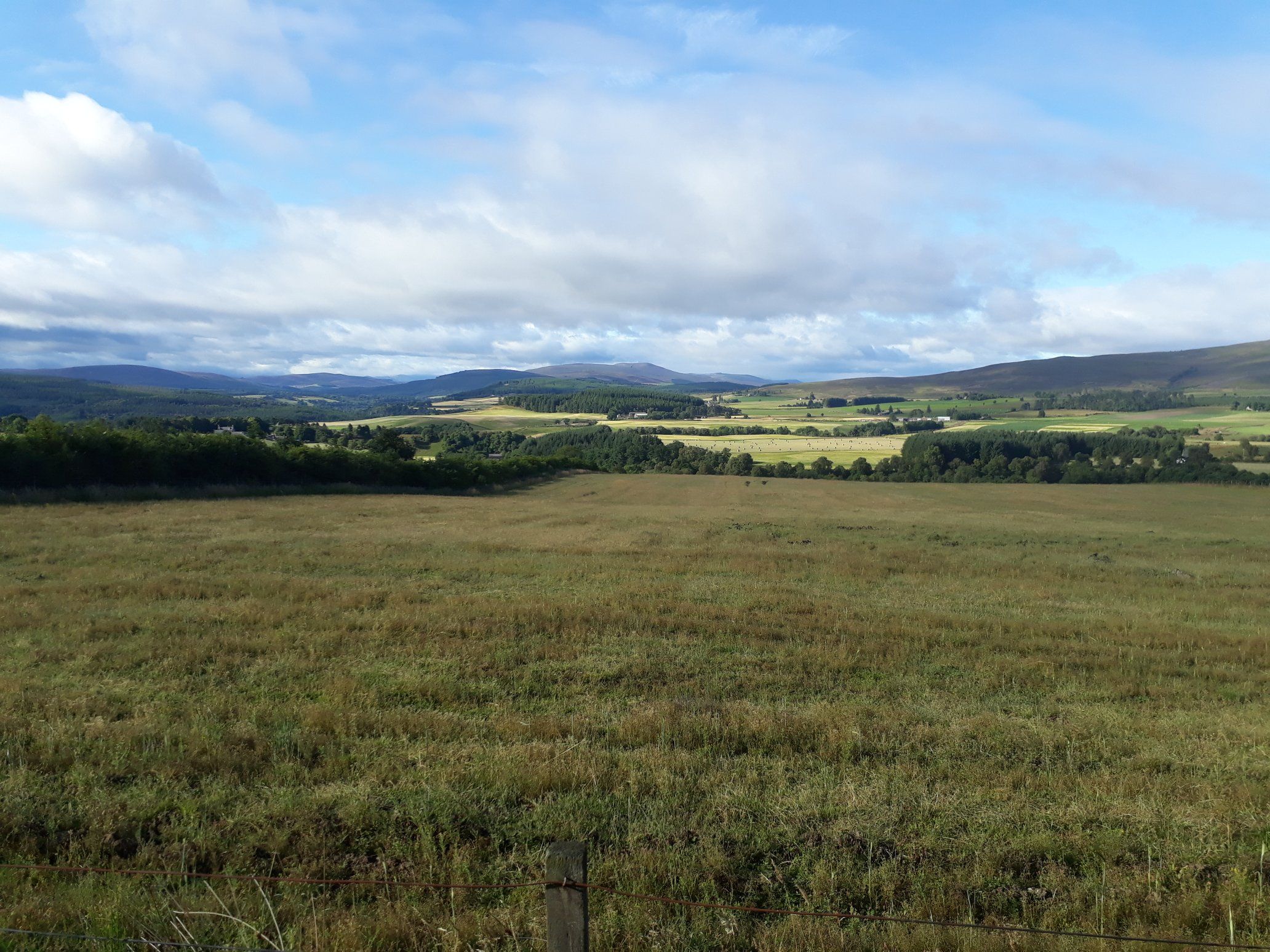 This is a classic Moray route though hills, farm and woodland. The cycle is more about the scenery than the sights, but if whisky is your thing then youll find plenty to interest you! You pass close to Knockando, Tamdhu and Cardhu distilleries at mile 2.4. You pass through the village of Dallas at mile 9.5 which is very pretty and worth stopping in. You cycle through Rafford at mile 15.4 which is only a couple of miles from Dallas Dhu distillery (this is no longer a producing distillery, but you can still visit), and the Benromach distillery is in Forres.Forres is a good sized town situated on the floodplain of the River Findhorn 25 miles from Inverness. It was first mentioned in Roman documents from the 2nd century, and received royal burgh status in 1140. It is a very pretty town and has won Scotland in Bloom on several occasions. It is home to Suenos Stone, a 20 foot tall carved Pictish monument which is enclosed in armoured glass to protect it. The town featured heavily in Shakespeares play Macbeth, and Brodie Castle and gardens lie a few miles to the west. The original building (other than one tower) was destroyed by fire in 1645 and is an example of a Z-plan castle. It was home to the Clan Brodie before being taken over by the National Trust for Scotland. There are plenty of options for food and drink.
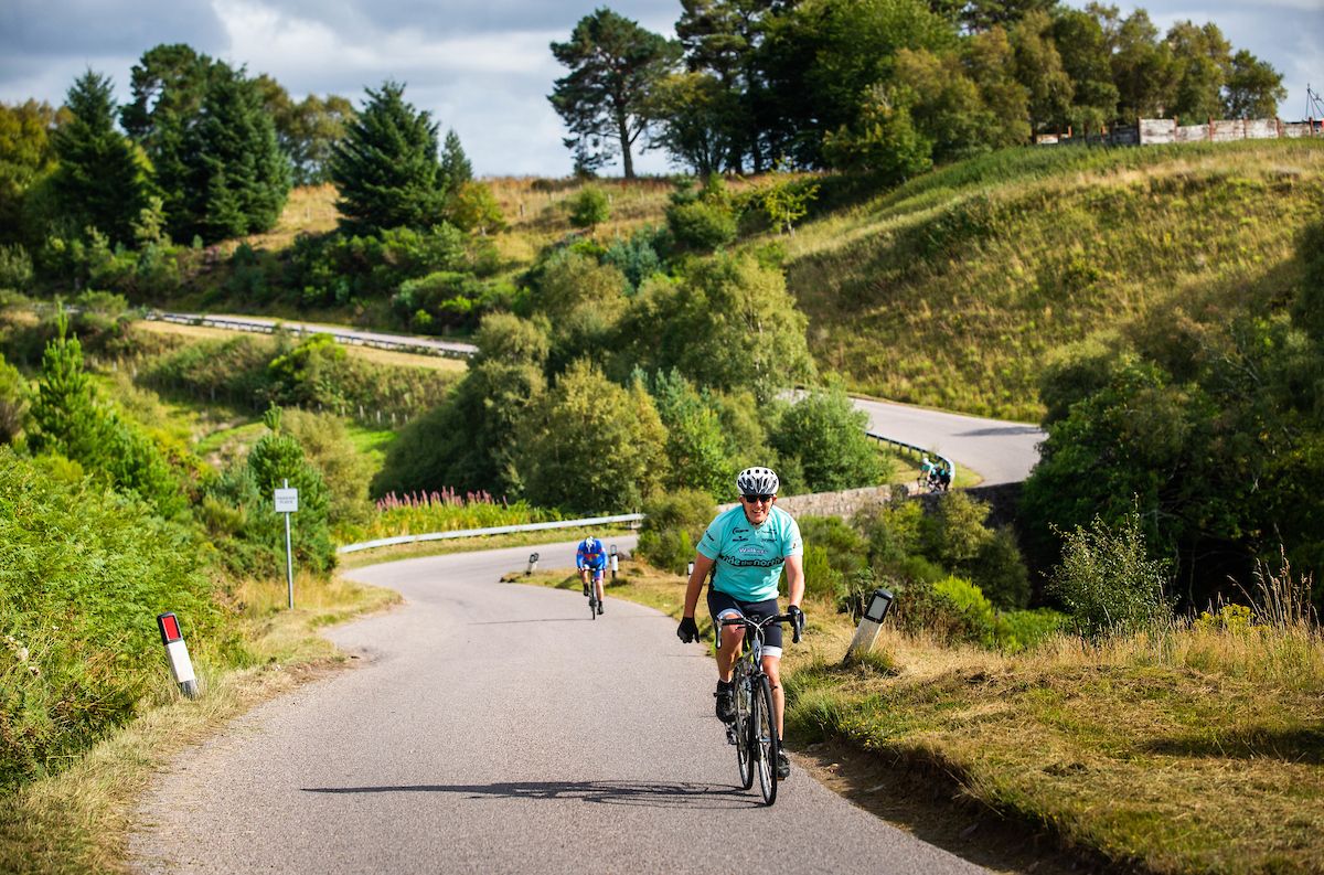 By clicking on the play symbol on the graphic below you can see route map. The elevation profile of the ride can be seen via the Hills tab with files for use with a GPS device also available for download. If you take any photos of the route that youd like to share, please submit to neil@velodays.com
Route map for Archiestown To Forres by Neil Innes on plotaroute.com