 The route from Elgin to Forres on the south side of the A96 is 14.3 miles long and has climbing of 876 feet. It has been given a difficulty rating of 5.Elgin is the administrative and commercial centre of Moray and the town was first recorded in charter in 1151. The economy is dependant on tourism and whisky, as well as the RAF and army which have bases in nearby Lossiemouth and Kinloss respectively. The ruins of the medieval cathedral are well worth a visit. Originally built in 1242, it was completely destroyed by fire in 1270. The wonderful Dr Grays Hospital was built in 1819 and is a superb example of early 19th century architecture. If you have time you could visit Birnie Kirk (built in 1140) a few miles south of the town, or Pluscarden Abbey to the southwest which was built in 1230. We would recommend a visit to Glen Moray distillery in Elgin, which has long been a friend to Ride the North. Starting in the town centre you head southwest, navigating through Elgin before crossing the River Lossie and hitting countryside after 1 mile. The road is very flat for the first 8.3 miles and only a stiff westerly breeze will make this section feel tough. At mile 8.3 you tackle the only significant hill of the day and it will test the legs, lasting for 2.3 miles and reaching the high point of 712 feet at mile 10.6. The remainder of the route is downhill or flat, and you enter Forres from the southeast, finishing in the town centre.
 This stage is mainly through agricultural and woodland. You pass the remains of Asliesk Castle at mile 7.6 and the remains of Blervie Castle at mile 11.5, where there is also a stone circle.Forres is a good sized town situated on the floodplain of the River Findhorn. It was first mentioned in Roman documents from the 2nd century, and received royal burgh status in 1140. It has won Scotland in Bloom on several occasions and the town features in Shakespeares play Macbeth. Brodie Castle and gardens lie a few miles to the west – the original building (other than one tower) was destroyed by fire in 1645 and is an example of a Z-plan castle. It was home to the Clan Brodie before being taken over by the National Trust for Scotland. Suenos Stone is on the north side of the town it is a 20 foot tall carved Pictish monument which is enclosed in armoured glass to protect it Your finishing point is beside Nelson Tower, which was built in 1806 to commemorate Nelsons victory at the Battle of Trafalgar. There are plenty of food options in town.
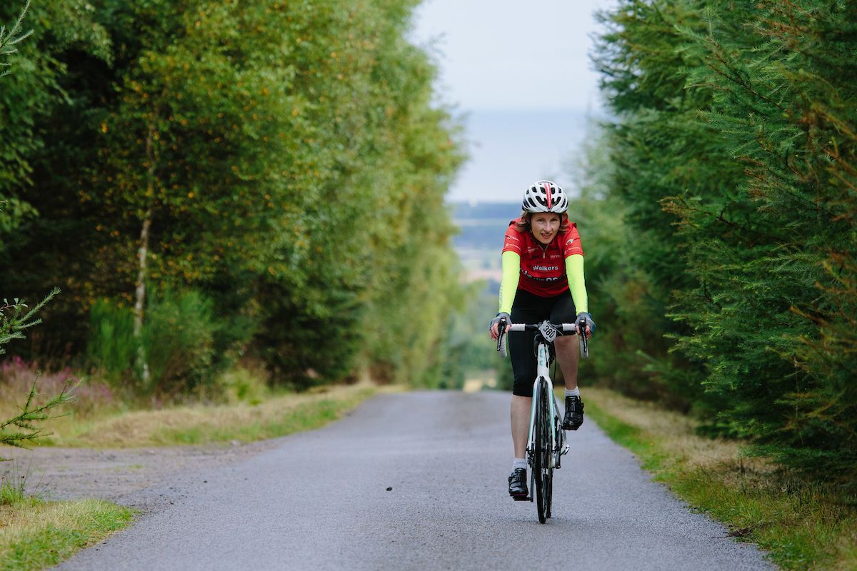 By clicking on the play symbol on the graphic below you can see route map. The elevation profile of the ride can be seen via the Hills tab with files for use with a GPS device also available for download. If you take any photos of the route that youd like to share, please submit to neil@velodays.com
Route map for Elgin To Forres (South Route) by Neil Innes on plotaroute.com