 It’s 12 miles from Ballater to Aboyne. The A93 road is on the north side of the river and while it might shave a mile (no more) we prefer to stay on the south side of the river riding on the B976 – or as it is more commonly known, the South Deeside Road. Cross the bridge out of the south side of Ballater and turn left signposted towards Banchory.
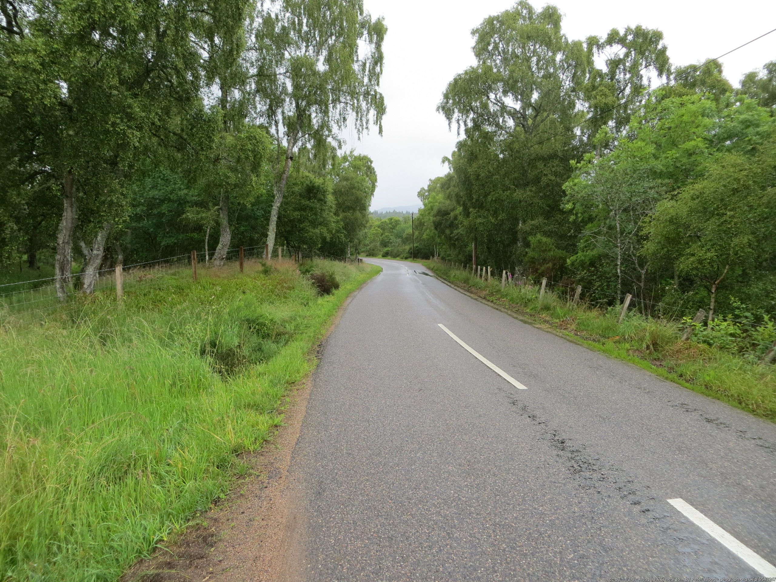 There are sections of the route that are largely in the trees, which does obscure the views over the river valley to some extent. There are spots for views, the Bridge at Dinnet (around 7 miles) is just a very short diversion off the route.Despite the fact the route never stays far from the river, it’s not quite as flat along the river bank. The first two miles after leaving Ballater are a climb to Panannich Wells, from where spring water has attracted visitors to Deeside for hundreds of years. After this point, it’s much easier going following the river downstream to Aboyne.
 The map below allow you to see the route, to see the elevation profile (use Hills tab) and to download files for use with GPS device. This is not the most complicated route for navigation so not the most crucial for navigation assistance.
Route map for Ballater To Aboyne by Neil Innes on plotaroute.com