 The route from Ballater to Braemar is 17.4 miles long and has climbing of 1,135 feet. You will mainly follow the Dee, and whilst there are no major hills you are going consistently uphill, so this route has been given a rating of 6.Ballater is a small town in Royal Deeside. In the 14th century the land was owned by the estate of the Knights of St John, but a settlement wasnt properly established until 1770, first as a spa town and then as a tourist destination. It is now a mecca for outdoor sports, and also for enthusiasts of the Royal Family. It is worth visiting Glenmuick Parish Church and the restored railway station, which was the terminus of the Aberdeen to Ballater line which closed in 1966.This cycle is set entirely in the Cairngorm National Park and the scenery is stunning. You head south out of Ballater, crossing the River Dee before heading west. There is short but sharp climb at mile 1.4, and you then settle into a rolling uphill track all the way to the high point of 1,135 feet at mile 16.7. You enter Braemar from the north and finish in the centre of town. Because of the topography in this area, routes are limited, so you will join the main A93 at mile 8.4 and remain on it until the finish please take care.
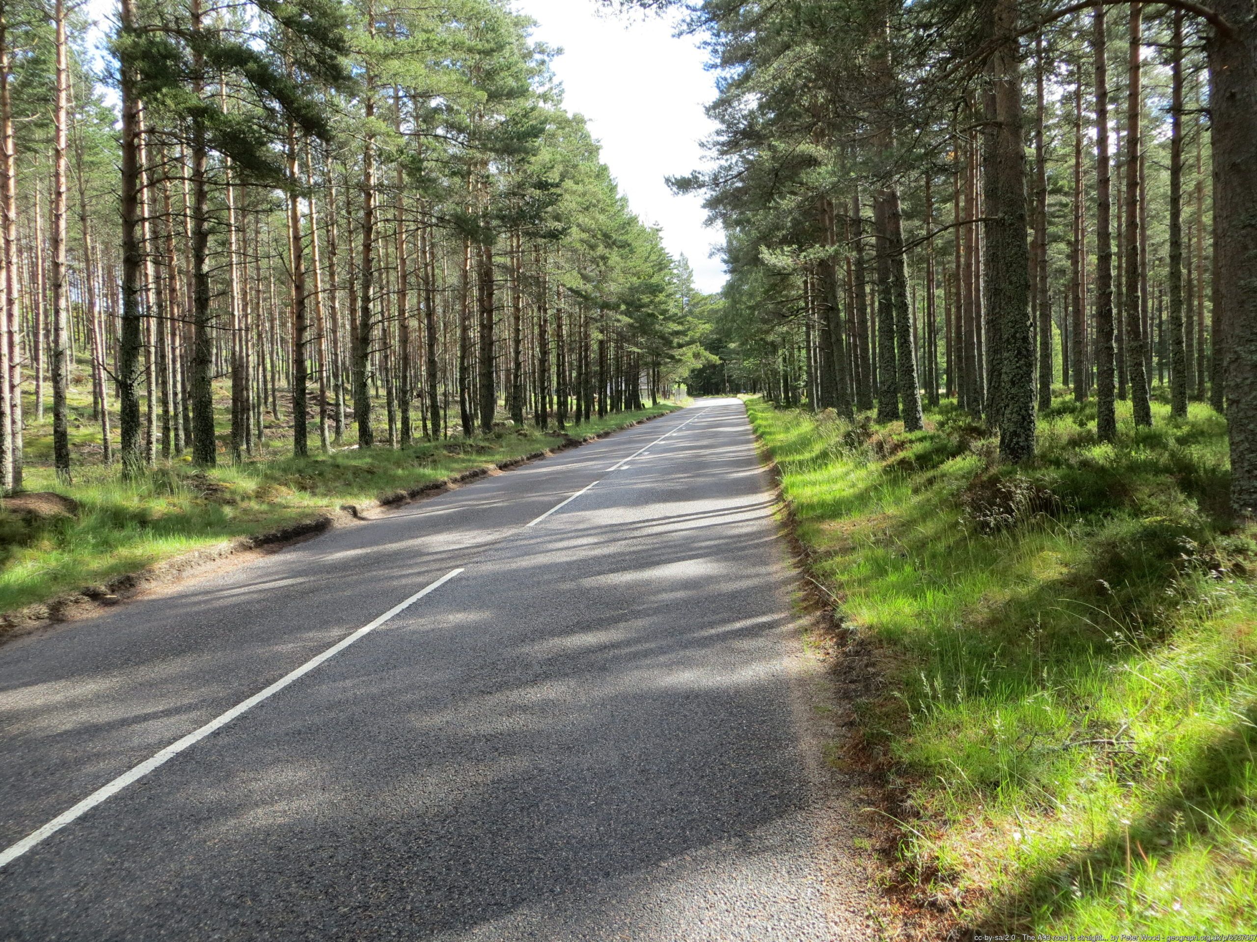 This cycle is the epitome of Royal Deeside a beautiful rural setting, with forests and mountains all around. It also has numerous tourist attractions. You cross the Bridge of Muick at mile 1, standing stones at mile 1.4 and the ruins of Castle Knock soon after. You will cycle through the Alltcailleach Forest and re-join the River Dee at mile 7, before reaching Easter Balmoral and the Royal Lochnagar Distillery, then cross the Dee and join the A93. You are now in the village of Crathie a visit to Crathie Kirk and Abergeldie Castle is recommended. But the mostly famous site is Balmoral Castle, the Scottish home of the Royal Family since 1852. The castle is set in 50,000 acres of land and is owned privately by the family, not the Crown Estate.You will mostly be cycling through forest for the remainder of the route, but the road suddenly opens up at mile 15, revealing Ben Avon to the north; the Cairngorm massif to the northwest; and Lochnagar to the southeast. You are in amongst Munros now, and Scotlands second highest mountain Ben Macdui is only 11 miles away. You pass Braemar Castle at mile 16.7.The village of Braemar technically sits on Clunie Water rather than the Dee. There have been settlements here since the 11th century, though the area is known to have been used as a trackway by both Picts and Romans. The Jacobite Rebellion of 1715 was launched by the Earl of Mar in Braemar and there is an annual Highland Games, often frequented by members of the Royal Family. The town has a number of caf and restaurant options, and if you have the time (and money!) you should go to the Flying Stag which has one of the most amazing public bars imaginable. You deserve a dram!
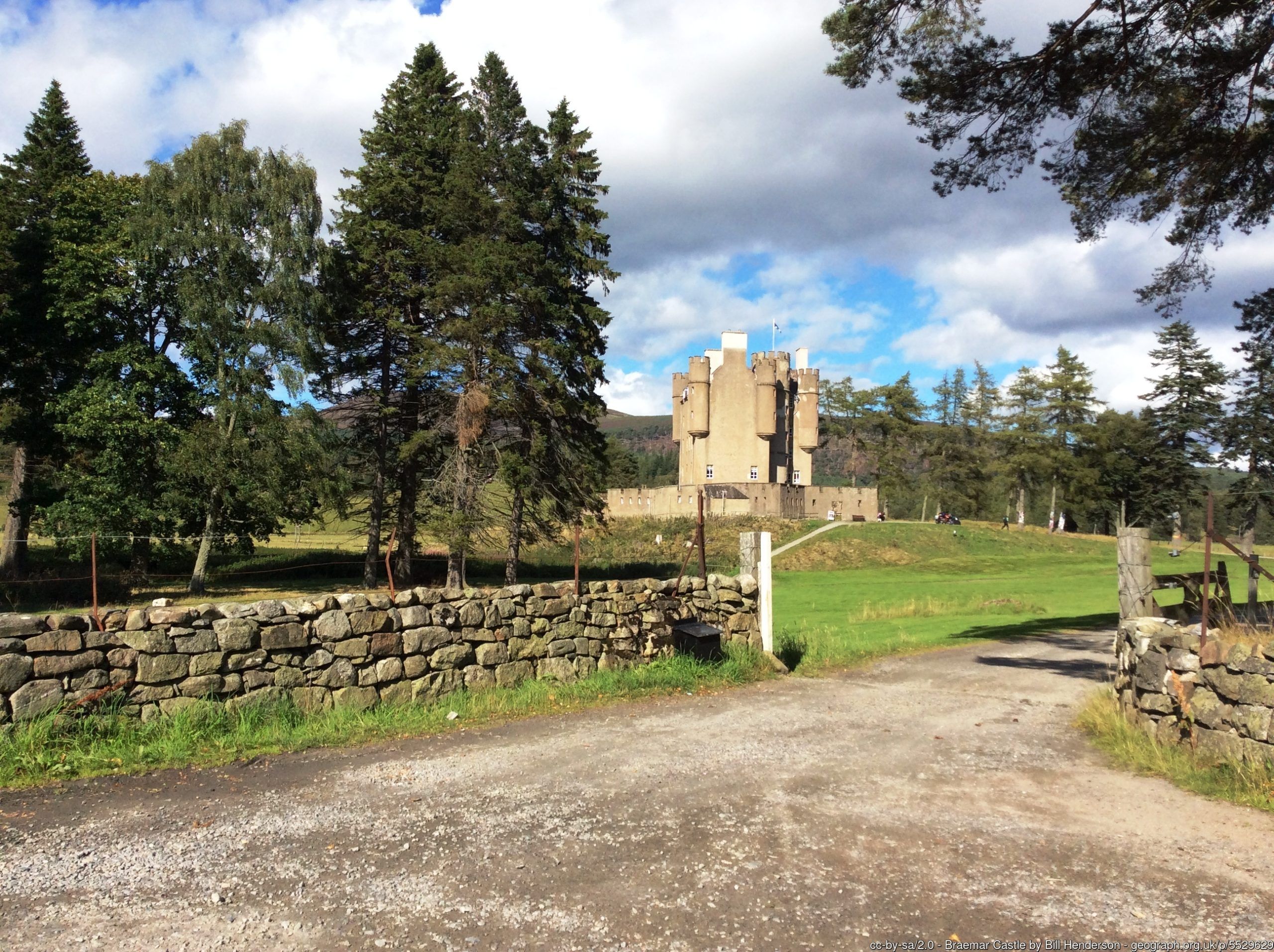 By clicking on the play symbol on the graphic below you can see route map. The elevation profile of the ride can be seen via the Hills tab with files for use with a GPS device also available for download. If you take any photos of the route that youd like to share, please submit to neil@velodays.comOnward rides from Braemar can be found here
Route map for Ballater To Braemar by Neil Innes on plotaroute.com