 The route from Glenshee to Braemar is 9 miles in length and has no climbing worth mentioning! It has been given a difficulty rating of 2.The cycle from Glenshee to Braemar is all downhill and all on the A93. You start from the summit which is the highest A road in Britain. The road is remote but is still well used and fast, so please take care. This is the only route in the RTN153 where the amount of descending is more significant than the amount of climbing. You will drop 1,153 feet in 9 miles weeeeeeeeeeee!You start point is the Glenshee ski-station, where the regions of Aberdeenshire, Perth and Kinross and Angus converge. There is a caf at Glenshee, but depending on the time of year it might not be open. The route is in Aberdeenshire, but it feels like the Highlands. You are in the Cairngorm National Park and surrounded by Munros. It is a spectacular, stark mountain environment and you need to be appropriately dressed as it can be very cold and very windy.
 The views are amazing Lochnagar to the east; the Cairngorm massif and Ben Macdui (Scotlands second highest mountain) to the northwest; and Ben Avon to the north. You immediately start descending, and basically dont stop until you reach Braemar. Following Clunie Water downstream, this will be a very fast cycle though the gradients are fairly steady and there are no extreme downhill ramps. You finish in the centre of Braemar.The village of Braemar sits on Clunie Water just north of where it joins the Dee. There have been settlements here since the 11th century, though the area is known to have been used as a trackway by both Picts and Romans. The Jacobite Rebellion of 1715 was launched by the Earl of Mar in Braemar and there is an annual Highland Games, often frequented by members of the Royal Family. If you have the time (and money!) you should go to the Flying Stag which has one of the most amazing public bars imaginable. There are other caf and restaurant options in town.
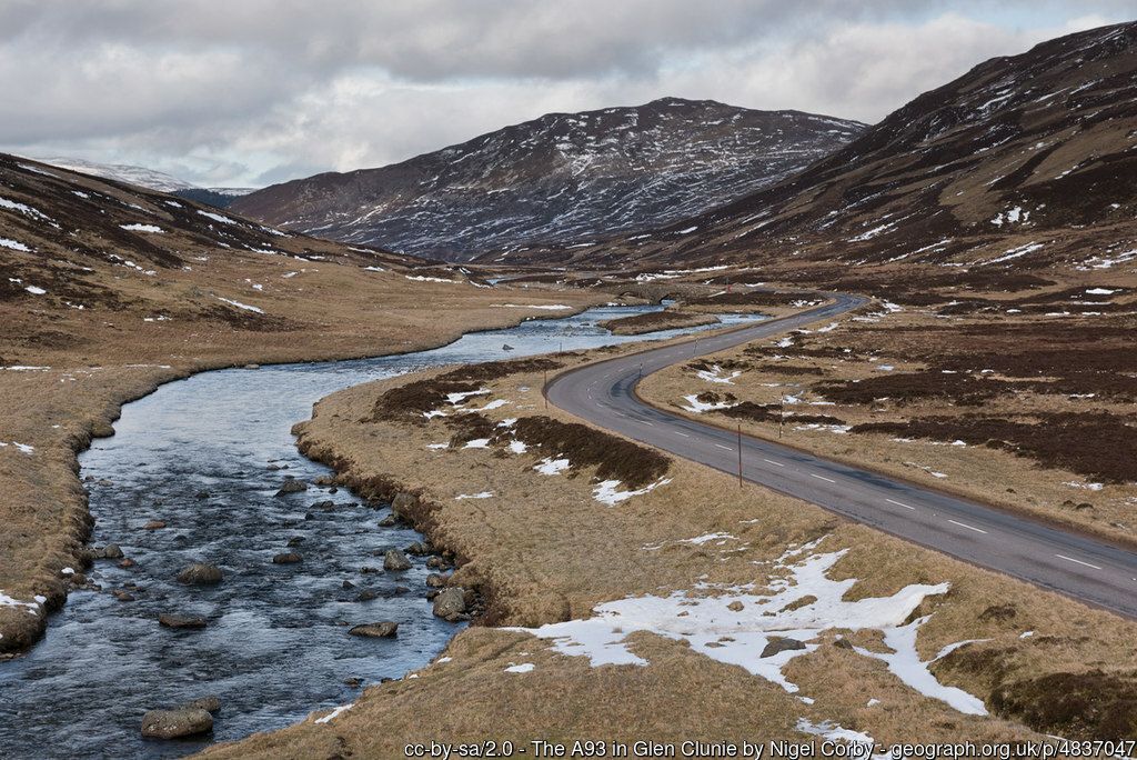 By clicking on the play symbol on the graphic below you can see route map. The elevation profile of the ride can be seen via the Hills tab with files for use with a GPS device also available for download. If you take any photos of the route that youd like to share, please submit to neil@velodays.com
Route map for Glenshee To Braemar by Neil Innes on plotaroute.com